IMPACT Initiatives is hiring
#JobOpportunity :
IMPACT Initiatives
is hiring a
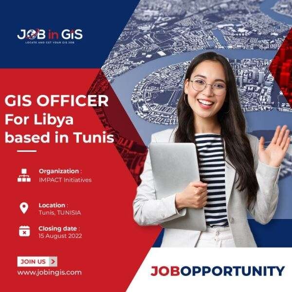
GIS Officer for Libya
based in Tunis.
- 📍Location : Tunis, TUNISIA
- 📆Deadline : 15th August 2022
GIS OFFICER
REACH was born in 2010 as a joint initiative of two International NGOs (IMPACT Initiatives and ACTED) and the United Nations Institute for Training and Research (UNITAR) Operational Satellite Applications Programme (UNOSAT). REACH’s purpose is to promote and facilitate the development of information products that enhance the humanitarian community’s decision making and planning capacity for emergency, reconstruction and development contexts, supporting and working within the framework of the humanitarian reform process. REACH facilitates information management for aid actors through three complementary services: (a) need and situation assessments facilitated by REACH teams; (b) situation analysis using satellite imagery; (c) provision of related database and (web)-mapping facilities and expertise.
IMPACT Initiatives is a humanitarian NGO, based in Geneva, Switzerland. The organisation manages several initiatives, including the REACH Initiative. The IMPACT team comprises specialists in data collection, management and analysis, GIS and remote-sensing. IMPACT was launched at the initiative of ACTED, an international NGO whose headquarter is based in Paris and is present in thirty countries. The two organizations have a strong complementarity formalized in a global partnership, which allows particularly IMPACT to benefit from ACTED’s operational support on its fields of intervention.
ACTED is a French humanitarian NGO, founded in 1993, which supports vulnerable populations, affected by humanitarian crises worldwide. ACTED provides continued support to vulnerable communities by ensuring the sustainability of post-crisis interventions and engaging long-term challenges facing our target populations, in order to break the poverty cycle, foster development and reduce vulnerability to disasters. Their interventions seek to cover the multiple aspects of humanitarian and development crises through a multidisciplinary approach which is both global and local, and adapted to each context. Their 3,300 staff is committed in to responding to emergencies worldwide, to supporting recovery and rehabilitation, towards sustainable development.
- We are currently looking for aGIS Officer to support our REACH team in Libya.
- Position: REACH GIS Officer
- Contract duration:6 months, renewable
- Location: Tunis, Tunisia
- Starting Date: Sept 15th, 2022
COUNTRY PROFILE
REACH has been present in Libya since 2011, providing assessment and information management services to humanitarian actors. REACH’s intervention in Libya has been divided in two phases: during and in the aftermath of the first conflict in 2011-2012 and since 2015.
In 2022 and beyond REACH Libya continues to expand its information support to the humanitarian response in several key areas, including large-scale country-wide household level assessments, market-related assessment, protection monitoring and improved remote data collection. Key strategic aims are to increase geographic and sectoral coverage and to enhance advocacy capacity through strengthened data collection and information targeting.
POSITION PROFILE
Under the line management of the Humanitarian Unit Research Manager, the GIS Officer is responsible for the application of geographic information systems, including relevant aspects of research design, support in designing data collection tools, ensuring (spatial) data quality, geo-spatial analysis, drafting of maps, and (as relevant) production of web maps and information management systems. Detailed requirements below.
The GIS officer will provide technical inputs in all stages of the research cycle. He/she ensures an efficient and transparent use of resources required for project implementation. This can include the direct supervision of GIS teams. The GIS Officer will also be responsible for developing and implementing a continuous capacity building program for national and international team members, and (when relevant) for providing trainings to partners.
Position is open for officer level, but those with more experience will be considered for a senior position, and are encouraged to apply.**
FUNCTIONS
1. Planning
- In coordination with relevant assessment officer(s), support assessment planning in line with project and program objectives and with IMPACT’s research cycle and other relevant guidelines;
- Map and analyse secondary data in coordination with the assessment officer(s);
- Contribute to draft assessment ToRs with a specific focus on the analysis plan, and related mapping, as well as data management plan;
- Support the development of qualitative and quantitative data collection tools, ensuring GIS requirements of research cycle/assessment are met;
- Anticipates knowledge gaps prior the execution of the Research Cycle;
- In coordination with relevant assessment officer(s), support construction of quantitative sample.
2. Research Implementation
- Support the training of enumerators for primary data collection;
- Support oversight of data collection, in line with agreed TORs (including their annexes), including spatial verification and validation as part of daily assessment checks;
- Ensure that collected data is properly geo-referenced, enabling the production of maps and related products;
3. Data Management, Cleaning and Analysis
- Ensure that data is revised and cleaned, and that all revisions are recorded;
- Conduct vector & raster-based spatial analysis on collected data, using appropriate tools for each use-case
- Ensure that data and its spatial analysis are validated by IMPACT HQ before product drafting stage;
- Development and maintenance of country-level databases for the consolidation of all assessment-related and GIS data in country;
4. Drafting of Products
- Ensure the drafting of timely and accurate GIS products, which comply with IMPACT’s guidelines;
- Ensure that all GIS products are validated by IMPACT HQ before external release;
- When relevant, in close coordination with IMPACT HQ, support the regular maintenance and update of web GIS products;
- In coordination with the CC/CR, liaise with IMPACT HQ on the procurement of UNOSAT services and satellite imagery.
5. External Engagement
- In support of the assessment team, link with relevant partners to consult and involve them in the GIS components of a research cycle;
- Promote an active use of datasets, GIS products and research findings by partners and the broader humanitarian community for their decision making;
- After validation by line manager, support the presentation of research findings through GIS inputs to relevant third parties in order to enhance their use and impact;
6. Data Confidentiality and Protection
The GIS Officer will maintain the strictest confidentiality on all data collected and related processes, ensuring full compliance with IMPACT’s data protection policy and SOPs. He/she will actively take measures to prevent the unauthorized sharing of any information and data belonging to IMPACT and its partners, or collected during his/her assignment with IMPACT.
REQUIREMENTS
- Master degree in GIS or a related discipline (Geography, Geomatics, Environmental Engineering, Environmental Sciences). Bachelor’s degree in GIS or related discipline with additional relevant work experience.
- 1 year of experience in GIS/Database/Remote sensing, preferably in humanitarian context;
- Ability to work independently, manage variable workload, solve problems independently;
- Excellent analytical skills;
- Proficient knowledge of QGIS/ArcGIS
- Experience with data processing using R and/or Python (arcpy, numpy, etc.)
- Proven knowledge of the Microsoft Office Suite, to include Word, Excel, and PowerPoint.
- Written and spoken fluency in English required;
DESIRABLE
- Experience with or willingness to learn: PostGIS, ArcGIS Online environment, FME, Google Earth Engine, OpenStreetMap data, Tableau
- Previous experience with InDesign
- Knowledge of the humanitarian coordination structure
- Work experience on Libya or North Africa.
How to apply
#job #emploi #recrutement #recruitment #hiring #careers #marketing #innovation #digitalmarketing
[email protected]
Intéressé par l’offre d’emploi ____ oui/non

N’hésitez pas à partager autour de vous 😉